
Overview
Welcome to the first lesson! In this lesson, we will talk about the basics of map design, including how to customize your map to fit a specific audience, medium, and purpose. We will also introduce some topics that we will cover more in-depth later in the course, including visual variables, scale, and online map distribution. For the first six weeks of labs, you will be working with data pertaining to a city of your choosing. With this week’s lab exercise, you will be doing two things; creating a geodatabase that contains administrative boundaries, hydrological and transportation features of the city of your choice and then creating two general-purpose maps. For the first two labs, you will be working with this geodatabase and you will add more data to your geodatabase from labs three to six. By the end of this lesson, you should be able to recognize pre-designed basemaps for mapping tasks.
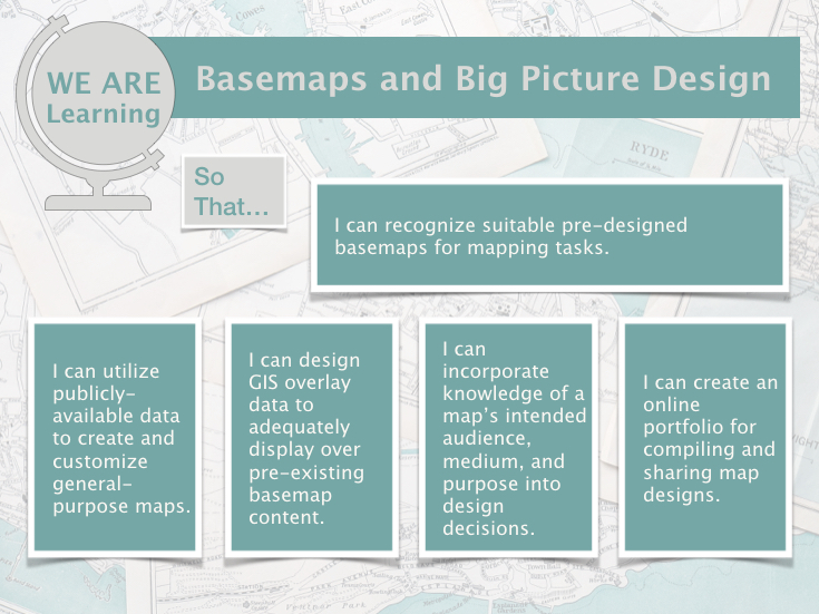
Image description:
Top Row:
- Left Box (Circular design with a stand, resembling a globe which is grey): o “WE ARE Learning” in green text •
- Center Box (Long horizontal green band): o “Basemaps and Big Picture Design” in grey text Middle Row:
- Left Box (Small grey square with white background and white outline): o “So That…”
- Right Box (Large horizontal green rectangle with white outline): o “I can recognize suitable pre-designed basemaps for mapping tasks.”
- Bottom Row (Four vertical green rectangles with white outline): •
- First Box (Left): o “I can utilize publicly available data to create and customize general-purpose maps.”
- Second Box (Center-left): o “I can design GIS overlay data to adequately display over pre-existing basemap content.”
- Third Box (Center-right): o “I can incorporate knowledge of a map’s intended audience, medium, and purpose into design decisions.” • Fourth Box (Right): o “I can create an online portfolio for compiling and sharing map designs.”
