Overview
Welcome to Chapter 3! In previous chapters, we discussed broad concepts related to map and map symbol design, including designing for a map’s audience, medium, and purpose. We learned about visual variables and how to designate order and category with map symbols. In the context of text on maps, we discussed these ideas in greater detail; we created symbols with labels and learned how to place them appropriately on maps. We then put everything together in a map layout.
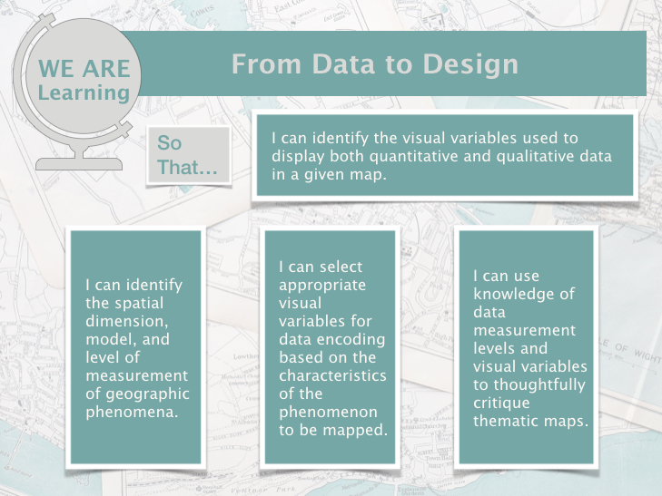
So far, we have only designed general purpose maps. Though these maps still contain data (e.g., road networks, lakes, boundaries), we have not yet added more abstract data to maps. In this lesson, we discuss thematic maps and the ways in which we can use maps to effectively visualize spatial data. When deciding how to map, we’ll consider the spatial dimensions and models of geographic phenomena, levels of data measurement, and appropriate methods of visual encoding. We’ll compare and contrast the four most common types of thematic maps (choropleth, isopleth, proportional symbol, dot) and map two of these in Lab 3, using a popular data source for thematic mapping – the US Census Bureau. You will need to download spreadsheet (.csv) data pertaining to your chosen city for the state, county, and census tracts that it is located in.
Learning Outcomes