Overview

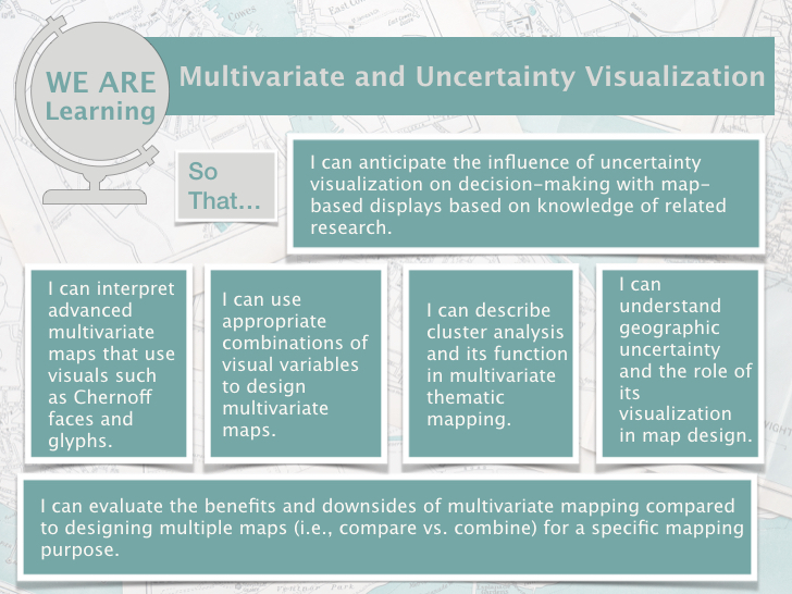
So far, we have talked about mapping only one variable on the map. These type of maps are known as univariate maps. For example, we have seen maps of unemployment rates, zoning maps, and populations maps.  But what if you want to map more than one variable and have these variables share the same color scheme? In lesson 5, we will talk about maps in which you map two or variables, which are called multivariate maps. We will also talk about geographic uncertainty. When you make and display a map, many viewers might take that as the ground truth. However, the data we use for a map is not a perfect representation of a population due to various reasons which can range from data collection issues to using faulty data sources. Through mapping geographic uncertainty in which we indicate the level of uncertainty for the areas we map, we are transparent about what we depict which can create trust to the target audiences of the map.

By the end of this lesson, you should be able to: anticipate the influence of uncertainty visualization on decision-making with map-based displays based on knowledge of related research, can interpret advanced multivariate maps that use visuals such as Chernoff faces and glyphs, use appropriate combinations of visual variables to design multivariate maps, describe cluster analysis and its function in multivariate thematic mapping, understand geographic uncertainty and the role of its visualization in map design, and evaluate the benefits and downsides of multivariate mapping compared to designing multiple maps (i.e., compare vs. combine) for a specific mapping purpose.

License

Icon for the Creative Commons Attribution-NonCommercial-ShareAlike 4.0 International License

Digital Cartography Copyright © 2024 by Dorris Scott is licensed under a Creative Commons Attribution-NonCommercial-ShareAlike 4.0 International License, except where otherwise noted.

Share This Book